DGPS Survey: Role in Accuracy, Efficiency & Cost Analysis

Surveying demands precision. While traditional methods have limitations, DGPS technology revolutionizes the field. By rectifying GPS signals, DGPS enhances accuracy, speed, as well as cost-effectiveness in surveying projects.
DGPS Survey has transformed the way professionals approach geospatial measurements. Unlike conventional GPS, DGPS provides corrections to enhance positioning accuracy, making it indispensable for high-precision surveying projects. This advanced technology ensures reliable data collection, speeds up project timelines, and reduces overall costs.
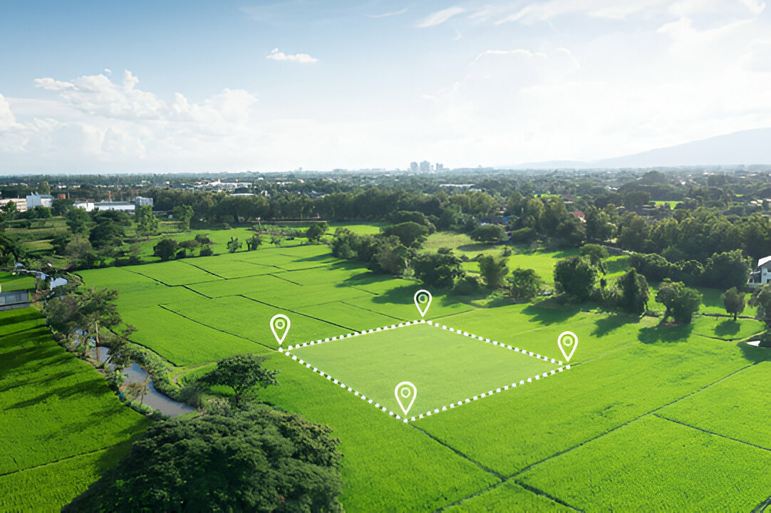
The DGPS Survey system is particularly effective in large-scale projects, including construction, agriculture, and infrastructure development. Its ability to deliver real-time data corrections significantly improves workflow efficiency, allowing surveyors to achieve consistent, accurate results even in challenging environments.
For industries requiring pinpoint accuracy, a DGPS Survey is the go-to choice, offering a blend of innovation and practicality that traditional methods cannot match. Embracing DGPS technology is not just about precision—it’s about optimizing resources and achieving excellence in every project.
What is DGPS?
DGPS enhances GPS accuracy by reducing errors by using corrections from a fixed ground station. These errors can include atmospheric delays and satellite clock drifts. Must read this blog what is dgps and how does it improve accuracy?
Key Components of a DGPS Survey
- GPS Receiver: The main component that receives signals from GPS satellites.
- Reference Station: A precisely known ground station equipped with a high-quality GPS receiver.
- Communication Link: A system to transmit differential corrections from the reference station to the rover receiver. This can be attained through radio, cellular networks, or satellite communication.
- DGPS Rover: A portable GPS receiver that receives both GPS signals as well as differential corrections.
How DGPS Works?
- Signal Reception: The reference station and the rover receiver independently track GPS satellites.
- Error Calculation: The reference station calculates the difference between its known position and the position determined by its GPS receiver. These differences represent the errors in the GPS signals.
- Correction Transmission: The reference station transmits these error corrections to the rover receiver through the communication link.
- Position Calculation: The rover receiver applies the received corrections to its own GPS measurements, resulting in a more accurate position estimate.
Benefits of Using DGPS in Surveying
- Enhanced Accuracy: DGPS enhances positioning accuracy to sub-meter or centimeter levels. It is important for precise applications like mapping, construction, and machine control.
- Increased Efficiency: DGPS eradicates the need for time-consuming traditional surveying methods such as taping as well as leveling. This translates to faster project completion and reduced labor costs.
- Cost-Effectiveness: Despite the higher initial investment in DGPS equipment, long-term savings in time and labor often justify the cost.
- Real-time Applications: DGPS enables real-time positioning. Hence, it allows for quick feedback and adjustments during construction or other field operations.
- Versatility: DGPS can be used in various applications, including:
- Construction: Layout and staking, machine control, and volume calculations.
- Mapping: Topographic surveys, cadastral surveys, and GIS data collection.
- Agriculture: Precision farming, yield mapping, and soil sampling.
DGPS Survey Procedure
- Project Planning: Define the project scope, required accuracy, and budget.
- Equipment Setup: Set up the reference station at a known location and establish a communication link with the rover receiver.
- Data Collection: Traverse the survey area with the rover receiver, collecting position data.
- Data Processing: Process collected data with suitable software to create maps, plans, and other required outputs.
- Quality Control: Perform quality control checks to make sure the accuracy as well as reliability of the survey results.
Cost Analysis of DGPS Surveys
The cost of a DGPS survey can vary depending on several factors:
| Cost Factor | Description |
|---|---|
| Project Size & Complexity | Larger and more complex projects require more time, resources, and precision, increasing overall costs. Additional survey points or higher accuracy levels may be needed. |
| Equipment Costs | The initial investment in DGPS equipment (e.g., DGPS survey machine price, DGPS survey instrument price) can be significant. |
| Labor Costs | Skilled surveyors and technicians are essential for accurate data collection, contributing to project expenses. |
| Data Processing Costs | Post-survey data processing requires specialized software (such as GIS tools) for analysis and visualization, adding to the overall cost. |
| Communication Costs | Establishing a stable connection between the reference station and the rover receiver for real-time corrections can incur significant expenses. |
Comparing DGPS Survey Costs with Traditional Methods
Though DGPS equipment has a higher upfront cost, it ultimately saves money. Traditional surveying is slower and requires more labor, making projects more expensive.
Conclusion
DGPS has revolutionized surveying. It has significantly enhanced accuracy, speed, and cost-efficiency. Real-time corrections dramatically improve GPS data. Also, these corrections allow faster and more precise project completion at lower costs. Continuous advancements promise even greater DGPS capabilities, making it an essential tool for professionals globally.


