The Future of GNSS Software Receivers in Precision Mapping and Geospatial Data Collection

GNSS software receivers are changing precision mapping. They are important for industries that need accurate location data. These industries include agriculture, construction, and urban planning.
What is a GNSS Receiver?
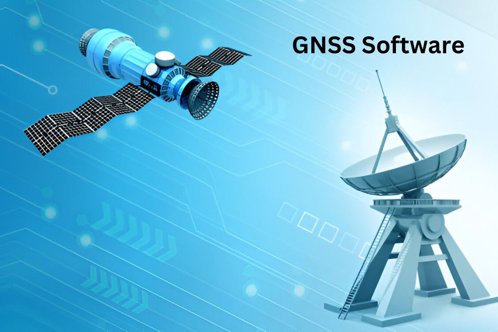
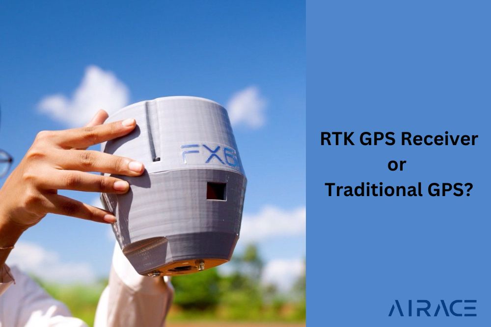
GNSS receiver gets signals from Global Navigation satellite systems. It calculates accurate location data. It figures out your exact location using these signals. You can find GNSS receivers in cars, construction, farms and mapping.
How Does a GNSS Receiver Work?
GNSS receivers get signals from various Global Navigation Satellite Systems. These satellites send signals with time and position data. The receiver uses these signals to find its location. Software receivers are more flexible than hardware receivers. They can be easily changed.
Benefits of GNSS Software Receivers:
GNSS software receivers offer many advantages over hardware-based models. They are more flexible, cheaper, and work better with other software. Precision mapping has benefited a lot from GNSS software solutions. They allow real-time adjustments and post-processing.
- Flexibility: Software receivers can be updated remotely. This allows continuous improvements without physical upgrades.
- Cost-Effective: These systems reduce costs by eliminating the need for specialized hardware.
- Scalability: GNSS software receivers easily integrate with mobile devices, expanding their potential use cases.
GNSS in Precision Mapping
Precision mapping needs very accurate data. Construction, mining, and agriculture rely on this. GNSS receivers are precise, especially software-based ones. Being precise is quite crucial in case of land surveying, urban planning, as well as self-driving cars. GNSS receivers are getting more error free. New algorithms and mapping platforms help collect better data in real time. GNSS software solutions help map large areas quickly and accurately, improving efficiency in data collection.
GNSS Agriculture and Smart Farming
Farmers use GNSS for precision farming. They rely on GNSS GPS to plan work, grow more crops, and waste less. GNSS software helps machines know exactly where they are and monitors crops. The GNSS module helps farmers do tasks accurately.
The Role of GNSS Receiver Manufacturers
GNSS receiver manufacturers are creative. They are building software receivers that are more accurate, reliable, and easier to integrate. GNSS manufacturers are making their technology better for difficult places.
What is the Global Navigation Satellite System?
GNSS helps devices know their location. Popular GNSS systems include GPS, GLONASS, Galileo, and BeiDou. GNSS is used for many things, like maps on phones and science.
How to Use GNSS Receivers for Geospatial Data Collection
Using a GNSS receiver is simple. Connect the receiver to a compatible device, such as a smartphone, tablet, or specialized data collector. The receiver will begin capturing satellite signals and calculating your exact location. GNSS software then processes the data, providing accurate coordinates for mapping or data collection tasks.
Future Trends in GNSS Software Receivers
- Integration with AI: GNSS receivers are being used with AI. AI makes location data more accurate and reliable.
- Improved Accuracy: Enhanced algorithms will allow GNSS software receivers to provide even higher levels of precision.
- Cloud Integration: Future GNSS systems will likely have deeper cloud integration, enabling real-time data processing and sharing.
Conclusion
GNSS software receivers are promising. They are flexible, scalable, and affordable. These receivers are essential for precision mapping and geospatial data collection. They will continue to be important. This is due to improvements in accuracy, integration, and user experience.


2 thoughts on “The Future of GNSS Software Receivers in Precision Mapping and Geospatial Data Collection”