January 15, 2025
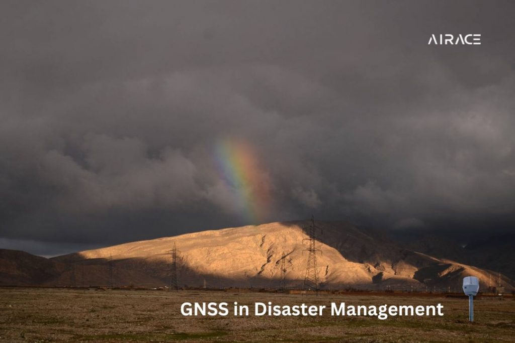
The Role of Global Navigation Satellite Systems (GNSS) in Effective Disaster Management

GNSS play a central role in modern disaster management, offering real-time data and precise location tracking that can save lives during emergencies. GNSS technology enables accurate mapping of disaster-prone areas, supports efficient search-and-rescue operations, and facilitates the coordination of relief efforts. In this blog, we explore the role of GPS in disaster management and how GPS applications help manage disasters effectively.
By providing critical geospatial information, it helps disaster management teams to monitor environmental changes, assess damage, and predict future risks with high accuracy.
Whether it's tracking the movement of natural disasters like hurricanes or earthquakes, guiding rescue teams to affected areas, or ensuring the safe evacuation of populations, GNSS has become an indispensable tool in building resilient disaster response systems.
GNSS technology, including GPS, GLONASS, Galileo, and BeiDou, has transformed disaster management. It offers precise location, navigation, and time data. This helps in efficient coordination, quick assessments, and better resource allocation during disasters.
Understanding GNSS Technology
GNSS receivers use satellite signals to find their location and time. They provide accurate positioning, even in difficult areas. RTK GPS improves accuracy using ground stations. It achieves centimeter-level precision, perfect for surveying and mapping.
Do you know what is the difference between RTK GPS & Traditional GPS?
GNSS technology enables accurate mapping of disaster-prone areas, supports efficient search-and-rescue operations, and facilitates the coordination of relief efforts. By providing critical geospatial information, it helps disaster management teams to monitor environmental changes, assess damage, and predict future risks with high accuracy.
To enhance accuracy and efficiency, Airace has introduced its mobile app, AIRACE ONE, which uses GNSS technology for disaster management. This solution streamlines real-time tracking and coordination, making it an essential tool for saving lives and reducing the impact of disasters.
Applications of GNSS in Disaster Management:
Global Navigation Satellite Systems (GNSS), particularly GPS, play a crucial role in disaster management by providing accurate geolocation and real-time data.
GPS in disaster management is essential for tracking the movement of natural hazards such as cyclones, floods, or wildfires, enabling timely evacuation and resource allocation.
Additionally, GPS application in disaster management facilitates the coordination of rescue operations by mapping affected areas, guiding emergency responders, and ensuring efficient delivery of aid. This technology not only enhances preparedness but also significantly improves response and recovery efforts during emergencies.
1. Search and Rescue Operations
GNSS technology is important for disaster response. GNSS-enabled devices like smartphones and GPS trackers help locate and track people. Drones with GNSS receivers survey large areas, finding victims or hazards. GNSS-based mapping tools create detailed maps of disaster zones, aiding search and rescue efforts.
2. Damage Assessment and Mapping
GNSS technology aids disaster response. Drones capture high-resolution aerial images of damaged areas. Mobile mapping systems create detailed 3D maps. GNSS surveying assesses damage to infrastructure.
3. Emergency Response and Logistics
- GNSS-based fleet management systems can optimize the deployment of emergency vehicles and personnel.
- Real-time tracking of emergency responders can improve coordination and communication.
- GNSS-enabled supply chain management can ensure the timely delivery of essential supplies to affected areas.
4. Post-Disaster Recovery and Reconstruction
GNSS technology is crucial for post-disaster recovery. GNSS-based surveying and mapping support reconstruction planning and execution. Monitoring damaged structures with GNSS technology identifies potential risks. GNSS tech aids in restoring agriculture and food production.
Challenges and future trends in GNSS for disaster management:
While GNSS technology offers significant benefits for disaster management, several challenges need to be addressed:
- Signal Interference: Buildings, trees, and weather can block GNSS signals. This affects accuracy.
- Cybersecurity Threats: GNSS systems can be hacked. This can damage their integrity and reliability.
- Data Privacy and Security: GNSS data collection and analysis raise privacy and security concerns.
To overcome these challenges, ongoing research and development efforts are focused on:
- Advanced GNSS Receivers: Developing better GNSS receivers for tough conditions.
- Augmentation Systems: Improving GNSS accuracy and reliability with satellite-based augmentation systems.
- Cybersecurity Measures: Strengthen GNSS security and protect GNSS data.
- Data Privacy and Ethics: Ensure responsible GNSS data use with guidelines and regulations.
Conclusion
GNSS is vital for disaster management. It helps with search, rescue, damage assessment, emergency response, and post-disaster recovery. This tech improves relief efforts. As GNSS advances, it will be more crucial for disaster mitigation.