Top 5 Features to Look for in a GPS Land Survey App | GPS Land Survey Equipment Guide
Land surveying is a critical process in construction, agriculture, real estate, and environmental management. Traditionally, professionals relied on bulky and expensive GPS land survey equipment to get the job done. However, the rise of intelligent GPS land survey apps has revolutionized the industry, making surveying more accessible, affordable, and efficient. But with so many options available, how do you choose the right app?
In this blog, we’ll explore the top 5 features to look for in a GPS land survey app and why Airace One stands out as the ultimate solution.
Essential Features of a GPS Land Survey App
When selecting a GPS instrument for land survey, it’s important to prioritize features that ensure accuracy, efficiency, and ease of use. Here are the top 5 features to consider:
1. Accuracy
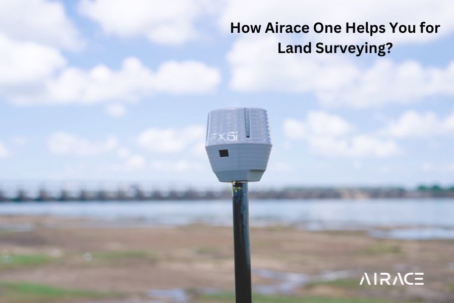
A reliable GPS land survey app must provide high measurement accuracy to ensure data integrity. The calibration of the GPS instrument for land survey directly impacts the quality of results. Look for apps that leverage advanced GPS technology to deliver precise measurements, comparable to professional-grade GPS land survey equipment.
2. User-Friendly Interface
The app should have an intuitive design, making it easy for users to navigate and operate. Simplified maps, clear tutorials, and a straightforward layout can significantly speed up data collection and reduce the learning curve for new users.
3. Advanced Functionality
A good GPS land survey app should offer a range of tools to cater to diverse surveying needs. Key functionalities include:
- Point marking
- Area calculation
- Distance measurement
- Data export in multiple formats (e.g., CSV, KML, or Shapefile)
These features ensure the app is versatile enough to handle various surveying tasks.
4. Offline Capabilities
Since many surveying tasks occur in remote areas with limited internet access, offline functionality is crucial. A reliable GPS land survey app should allow users to collect and store data without interruptions, ensuring seamless workflow even in the most challenging environments.
5. Affordability
While traditional GPS land survey equipment can be costly, a good app should offer professional-grade features at a budget-friendly price. Affordability ensures that the app is accessible to a wide range of users, from individual professionals to large organizations.
How Airace One Excels as the Ultimate GPS Land Survey App
Airace One is a leading GPS land survey app that combines cutting-edge technology with user-centric design. Here’s how it addresses the top 5 features:
1. Unmatched Accuracy
Airace One is designed to deliver unparalleled accuracy, leveraging advanced GPS technology to provide reliable measurements. It rivals the performance of dedicated GPS land survey equipment, making it a trusted tool for professionals.
2. Intuitive and User-Friendly
With its clean and straightforward interface, Airace One ensures that users can quickly learn and operate the app. Whether you’re a seasoned surveyor or a beginner, the app’s ease of use enhances productivity and reduces errors.
3. Comprehensive Functionality
Airace One offers a wide range of tools, including point marking, area calculation, distance measurement, and data export in various formats. Its versatility makes it suitable for all types of surveying tasks, from small projects to large-scale operations.
4. Robust Offline Capabilities
Airace One works seamlessly offline, allowing users to collect data in remote locations without internet connectivity. This feature ensures uninterrupted workflow and reliable performance, even in the most challenging environments.
5. Affordable and Cost-Effective
Airace One provides professional-grade features at a fraction of the cost of traditional GPS land survey equipment. Its competitive pricing makes it an attractive option for individuals and organizations alike, offering exceptional value for money.
Why Choose Airace One Over Traditional GPS Land Survey Equipment?
Airace One is more than just a GPS land survey app—it’s a game-changer for the industry. Here’s why it’s the best alternative to expensive GPS land survey equipment:
- Portability: Carry it on your smartphone or tablet, eliminating the need for bulky equipment.
- Ease of Use: No complex setups or technical expertise required.
- Cost Savings: Achieve professional results without the hefty price tag.
- Versatility: Suitable for a wide range of industries, including construction, agriculture, and environmental management.
Ready to Revolutionize Your Land Surveying Process?
Airace One is the ultimate GPS land survey app for professionals who demand accuracy, functionality, and affordability. Whether you’re conducting a small project or managing a large-scale operation, Airace One delivers the tools you need to get the job done efficiently.
Download Airace One today and experience the future of land surveying. Visit https://airace.in/airace-one to learn more and get started!